
Conservation main page | Return to Lanark County
Hackberry is a southern species of tree that just reaches its northern distributional limits in the Ottawa Valley. There are scattered occurrences in the Ottawa Valley, most associated with existing shorelines, a few with shorelines that used to exist along the old Champlain Sea. To the east of us, a small hackberry forest occurs in the floodplain of the Ottawa River downstream from Ottawa on the Petrie Islands. To the west, a small area of hackberry forest grows on exposed limestone on a former island in of the Bobcaygeon River in Victoria County.
The tree is easily identified by its unusual grey bark with thick vertical ridges. The leaves are long and taper to a narrow point. The tree produces berries in the late summer. These are likely dispersed by birds, but also by water.
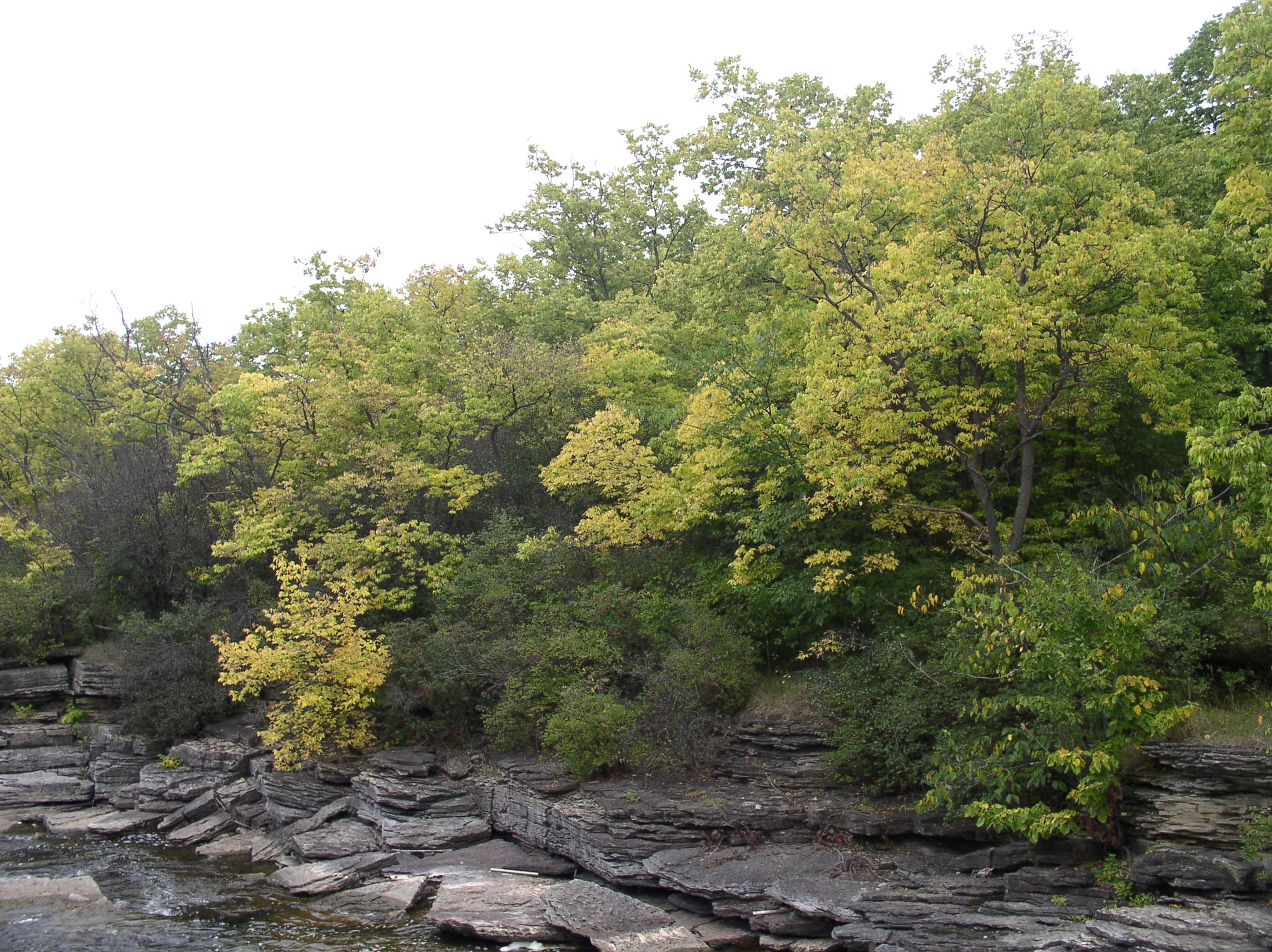
One of the largest hackberry forests in eastern Ontario occurs right in the town of Carleton Place along the rapids of the Mississippi River. There is no other hackberry forest of this scale in Lanark County, and few in the Ottawa Valley. It is an important nature feature that is unique in the region.
To learn more
Brunton, D. F. and J. D. Lafontaine. 1974. An unusual escarpment flora in Western Quebec. The Canadian Field-Naturalist 88: 337-344
Brunton, D. F. 1992. Life Science Areas of Natural and Scientific Interest in Site District 6-12. Unpublished manuscript. Ontario Ministry of Natural Resources, Toronto. 225 pp.
Hosie, R. C. 1990. Native Trees of Canada. 8th edition. Fitzhenry & Whiteside Ltd. in cooperation with the Canadian Forestry Service. ISBN 0-88902-572-4
Keddy, P. A. 2001. A Guide to the Natural Environment of Lanark County. Amazon, USA. ISBN 978-0-9810462-0-4
Larson, D. W., U. Matthes and P. E. Kelly. 2000. Cliff Ecology: Pattern and Process in Cliff Ecosystems. Cambridge University Press. ISBN 0521554896
